World > Americas > Costa Rica

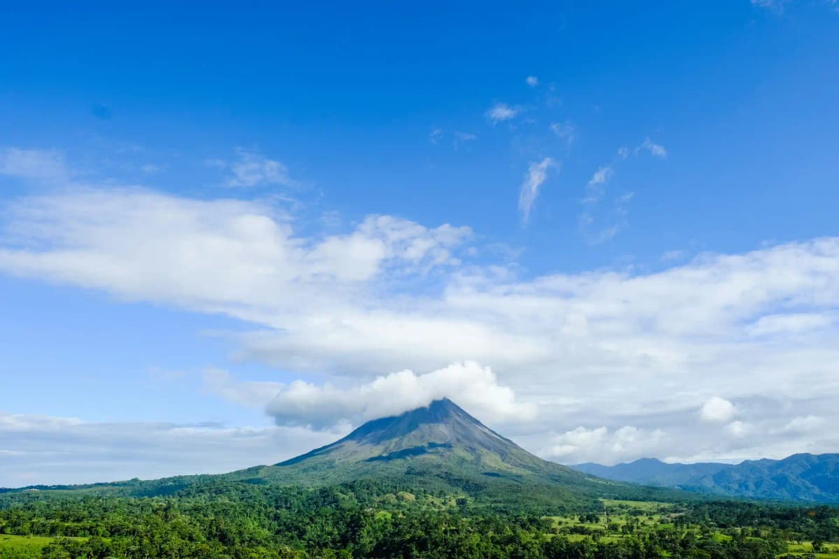
Costa Rica landscape

Costa Rica

Explore weather trends, climate data, and curated weather guides for Costa Rica

Costa Rica Climate Intelligence

Nestled in Central America, Costa Rica boasts a tropical climate that promises year-round warmth. Forget distinct winters and summers; instead, experience a "dry" season, generally from December to April, and a "wet" season spanning from May to November. Curious about rainfall intensity, microclimates, or the best time to visit for your specific needs? Explore WeatherBox for detailed insights tailored for travellers and businesses alike, ensuring your Costa Rican adventure is perfectly timed!

Average Temperature & Seasonal Trends in Costa Rica

How do temperatures shift month-by-month?

Temperature Map

How to Use This Map

  • Watch Seasons Change

    Click the Play button to start an animated timelapse of annual temperature shifts.

  • Explore Month-by-Month

    Drag the slider controls to pause on specific months and visualize detailed conditions.

Key Summary
  • Costa Rica's tropical latitude brings consistently warm temperatures year-round, with coastal lowlands typically ranging from 25°C to 32°C (77°F to 90°F).
  • Elevation creates dramatic temperature contrasts, so you can escape the heat in the cooler highlands where highs average a crisp 18°C to 24°C (64°F to 75°F).
  • The country's dry season (December to April) on the Pacific slope and green season (May to November) shape travel experiences, while the Caribbean coast remains humid and wet for much of the year.

Costa Rica sits just north of the equator, so air temperatures remain remarkably stable throughout the year. Rather than traditional cool winters and hot summers, the country experiences a persistent tropical warmth modulated primarily by elevation and rainfall patterns. In the lowlands, daytime highs typically range from 29°C to 35°C (84°F to 95°F), with warm nights staying above 22°C (72°F). The Central Valley, home to San José, enjoys what locals call the 'eternal spring', where afternoon temperatures often top out at a comfortable 24°C (75°F). As the WeatherBox temperature map illustrates, the coastal fringes glow with steady warmth, while the mountainous spine cuts a cooler swath through the heart of the country. This predictable temperature rhythm means you can plan outdoor activities with confidence year-round, though local conditions shift noticeably with the rain.

Geography carves Costa Rica into distinct temperature zones. The Pacific lowlands, especially Guanacaste, heat up during the dry season, making sunny beaches like the Papagayo Peninsula ideal for swimming and sunbathing from December to April. The Caribbean coast, from Tortuguero to Puerto Viejo, has no prolonged dry season; warm, humid air hovers near 30°C (86°F) much of the year, with brief, drenching downpours possible any month. Elevation is your thermostat. The misty cloud forests of Monteverde and the slopes of the Tilarán range offer cooler respites, where afternoon highs hover around 18°C to 22°C (64°F to 72°F) and mornings can feel chilly enough for a light jacket. Even higher, the páramo of Cerro de la Muerte sees temperatures dip close to freezing at night, a stark contrast to the coastal heat indicated by the WeatherBox temperature map. Even within the green season, a mid-year dry spell known as the veranillo often brings weeks of crisp, sunny skies to the Pacific side in July and August.

For sunseekers, the dry season on the Pacific coast is the most popular window, offering long stretches of brilliant sunshine and easy travel between beaches and volcanoes. However, this period also peaks in visitor numbers and prices. The green season from May to November transforms the landscape into a vibrant paradise; mornings are often clear before afternoon showers roll in, and you'll find fewer crowds at iconic spots like the hanging bridges of Arenal. The Caribbean coast often surprises with its driest, most favourable spell in September and October, ideal for exploring the rain-drenched canals of Tortuguero. Packing follows the thermometer. For the lowlands, light, breathable fabrics and strong sun protection are essential year-round. A rain jacket is wise no matter the season, and the cooler highlands demand a warm layer for evenings. Within a few hours' drive you can move from a sweltering beach to a temperate coffee farm. For more detailed monthly averages and to see these temperature zones on our interactive map, visit WeatherBox to plan your trip with data tailored to your route.

Regional Humidity & Dew Point Patterns in Costa Rica

How does humidity vary across the country?

Humidity Map

Key Summary
  • Costa Rica’s tropical latitude keeps relative humidity above 70% for much of the year, with coastal lowlands frequently feeling muggy to oppressive.
  • Mountain ranges sharply divide the country into a Pacific side with a distinct dry season and a Caribbean slope that receives trade‑wind moisture almost year‑round, as highlighted on the WeatherBox humidity map.
  • Elevation provides genuine relief; the Central Valley and highland cloud forests register comfortable humidity levels even when coastal areas are sweltering.

Costa Rica lies between two warm oceans, with a rugged spine of volcanic peaks that intercept moisture-laden trade winds from the northeast. This geography creates a humidity landscape that is fundamentally tropical yet surprisingly varied. Along the coasts, morning relative humidity often sits in the 80–90% range, dipping only modestly in the afternoon. Our data at WeatherBox show that the Pacific lowlands, especially the sun-drenched Nicoya Peninsula and the Guanacaste coastline, enjoy a more pronounced dry season from December through April. During those months, humidity eases to levels that many visitors find comfortable, though nights can still feel sticky. On the Caribbean side, the story is different: ports like Limón and the wildlife-rich canals of Tortuguero sit directly in the path of persistent onshore flow, resulting in high humidity and frequent showers even when the Pacific is bathed in sunshine. Refer to the WeatherBox humidity map and you will notice a strip of very muggy to oppressive territory hugging the Caribbean lowlands, refusing to let up for more than a few days at a time.

The mountainous interior acts as a climate partition and a refuge. In the Central Valley, where San José and the coffee-clad hillsides of the Heredia highlands sit at around 1,000 to 1,500 metres, humidity drops into the comfortable zone for much of the year, a pattern our weather station archives confirm. Travel higher to the mist-shrouded Monteverde cloud forests and you will encounter cool, damp air that feels fresh rather than suffocating, ideal for canopy walks and wildlife spotting. The south-central Pacific around Manuel Antonio and the Osa Peninsula occupies a middle ground: a shorter December–April reprieve, then a deeply muggy green season when daily tropical downpours keep the rainforest thriving. The persistent damp that feeds sparkling waterfalls and tree‑frog choruses also means that the jungle‑framed beaches of the southern Pacific can feel unrelentingly close. Whenever you look at the WeatherBox humidity comfort index, the message is consistent: choose your altitude and coast carefully, because two locations just a few hours apart can offer entirely different skin‑feel sensations, from comfortable to oppressive.

For travel planning, this rhythm dictates two overlapping seasons. The Pacific dry season, roughly December through April, delivers the most predictable comfort for lounging on the Nicoya Peninsula’s palm-backed sands or exploring the volcanic landscapes of Rincón de la Vieja. Yet the green season from May to November is far from a washout; mornings are often bright before afternoon showers bring a burst of tropical rainfall, and the countryside turns exuberantly lush. The Caribbean coast follows its own rules, with a relative dip in rainfall around September and October that can make oppressively humid days slightly more bearable, though you should still anticipate damp air and sudden cloudbursts. Packing wisely means lightweight, breathable fabrics, a reliable rain jacket, fast‑drying shoes, and sun protection, because even under cloud cover the UV punches hard. What no visitor can escape is the humidity that gives Costa Rica its legendary biodiversity, but with a glance at the WeatherBox humidity map and our seasonal breakdowns, you can choose the window and region that match your tolerance for muggy air. Explore the full comfort charts and historical trends on WeatherBox to shape a trip that feels as good as it looks.

How to Use This Map

Humidity Comfort Levels
Dry
Comfortable
Uncomfortable
Muggy
Very Muggy
Oppressive
  • Watch Seasons Change

    Click the Play button to start an animated timelapse of annual humidity shifts.

  • Explore Month-by-Month

    Drag the slider controls to pause on specific months and visualize detailed conditions.

  • Find Your Comfort Zone

    Use these insights to identify the ideal time to visit Costa Rica based on your weather preferences.

Climate Zones of Costa Rica (Köppen-Geiger Map)

What are the climate zones of Costa Rica?

Climate Map

Climate Classification Legend

Tropical
Af
Am
Aw
As
Dry
BWh
BWk
BSh
BSk
Temperate
Csa
Csb
Csc
Cwa
Cwb
Cwc
Cfa
Cfb
Cfc
Continental
Dsa
Dsb
Dsc
Dsd
Dwa
Dwb
Dwc
Dwd
Dfa
Dfb
Dfc
Dfd
Polar
ET
EF
Key Summary
  • Costa Rica’s tropical climate is divided by its central mountain spine, creating stark contrasts between the rain-soaked Caribbean coast and the sun-blessed Pacific lowlands.
  • The northeast trade winds and rugged highlands produce a tropical rainforest climate (Af) on the Caribbean slope and a pronounced dry season (Aw) in the Guanacaste region.
  • The elevated Central Valley enjoys a mild subtropical highland climate (Cwb), offering a cool, spring-like escape from the sticky lowland heat.

The backbone of Costa Rica is a chain of volcanic peaks and the Cordillera de Talamanca that runs from northwest to southeast, fundamentally dictating the nation’s weather. Lying between roughly 8 and 11 degrees north of the equator, the country receives tropical energy year-round, but its climate cannot be described in a single phrase. The Köppen classification reveals three dominant zones. A wide swath of the Caribbean lowlands and the southern Pacific around the Osa Peninsula fall under a tropical rainforest climate (Af), where rain is a daily possibility and annual totals easily surpass three metres. The northwest Pacific, including much of Guanacaste and the Nicoya Peninsula, lies in a rain shadow. Here a tropical savanna climate (Aw) delivers a sharp five-month dry season. Ascend to the population centres of San José, Cartago, and the surrounding coffee fincas, and you step into a subtropical highland climate (Cwb). At these elevations, afternoon highs are pleasant and nights cool, a world apart from the coastal swelter.

These climate zones map directly onto tropical soil and sea in ways travellers can taste, see, and feel. On the Caribbean versant, moisture-laden trade winds barrel in from the warm sea and collide with the rising terrain, quenching the lowland jungles around Tortuguero and Cahuita almost without pause. There is no true dry season here, though February, March, and September–October typically ease up just enough to make boat tours through the canal networks particularly rewarding. The Pacific story is one of rhythmic contrast. Between December and mid-April, the dry season builds gloriously clear skies, baking the sun-drenched surf breaks of the Guanacaste coast and drying out the cattle ranches across the Tempisque basin. When the rains return in May, the landscape erupts into a dripping, luminous green that photographers chase into the Manuel Antonio rainforest and the misty cloud forests of Monteverde. In that high-elevation corridor, the subtropical highland climate keeps humidity manageable while persistent cloud cover feeds the dangling mosses and epiphytes that make the reserve’s hanging bridges so enchanting. Even the deep south, from Dominical to the Osa Peninsula, exists in a lush middle ground, receiving tropical rainfall from Pacific moisture surges that foster one of Earth’s most biodiverse lowland forests.

Timing a visit revolves largely around the Pacific dry season, which is the traditional high season for beachgoers, wildlife spotters, and volcano explorers. The dry season months deliver the most optimal window for hiking Arenal’s lava fields or idling on the sand at Samara, but they also bring peak crowds and higher lodging rates. The verdant “green season” from May to November presents a rewarding alternative: afternoon showers often pass quickly, leaving the landscapes rejuvenated and many lodges noticeably quieter. The Caribbean side remains a viable fallback among rain showers, and our climate charts can help identify the driest pockets there. Regardless of your dates, packing light, breathable fabrics, high-SPF sun protection, and a sturdy rain shell is wise, along with insect repellent for the great moist lowlands. Costa Rica’s compact geography means that in a single short drive you can trade sticky coastal heat for the crisp air of the highlands, a diversity we at WeatherBox map in detail. Explore our interactive Köppen maps, monthly precipitation averages, and sunrise hour data to line up your days with the particular rhythms of sun and rain that define this narrow isthmus.
Find places with your ideal climate

Use our Climate Finder to search and rank locations by their temperature and humidity patterns.

Open Climate Finder

Compare Weather
in Costa Rica

See how temperatures, sunshine, and rainfall differ between any two locations on Earth

Costa Rica flag
San JoseCosta Rica
Change
Costa Rica flag
San MarcosCosta Rica
Change

Weather Guides

Explore comprehensive annual weather and climate insights for 33 locations in Costa Rica

Explore other locations in Americas