Key Summary- Cabo Verde’s air temperatures stay warm and stable all year, typically floating between 24°C and 30°C (75°F to 86°F), softened by ocean breezes.
- Microclimates emerge from the islands’ topography: flatter islands like Sal and Boa Vista feel consistently sun-drenched, while higher peaks on Santo Antão and Fogo introduce a refreshing drop in warmth.
- The extended dry season from November to July brings the most comfortable heat, whereas the brief wet season (August to October) adds mugginess and occasional heavy but short-lived showers.
Thanks to its mid-Atlantic position, Cabo Verde basks in a tropical yet remarkably mild temperature regime. There is no traditional winter chill or searing inland heat, because the surrounding ocean acts as a great thermostat, keeping daily highs from rising far above 30°C (86°F) and overnight lows from dipping below 20°C (68°F) in most coastal areas. The northeast trade winds, including the occasional Saharan harmattan winds laden with fine dust, reinforce this stable warmth and can produce a hazy horizon, particularly from December through March. As you review the WeatherBox temperature map, you will notice just how uniform the warm band appears across the archipelago; most coastal strips register the same narrow range month after month. Even so, a subtle seasonal shift emerges in late summer, when the sea surface warms slightly and the air becomes stickier, signalling the island chain’s brief rainier chapter.
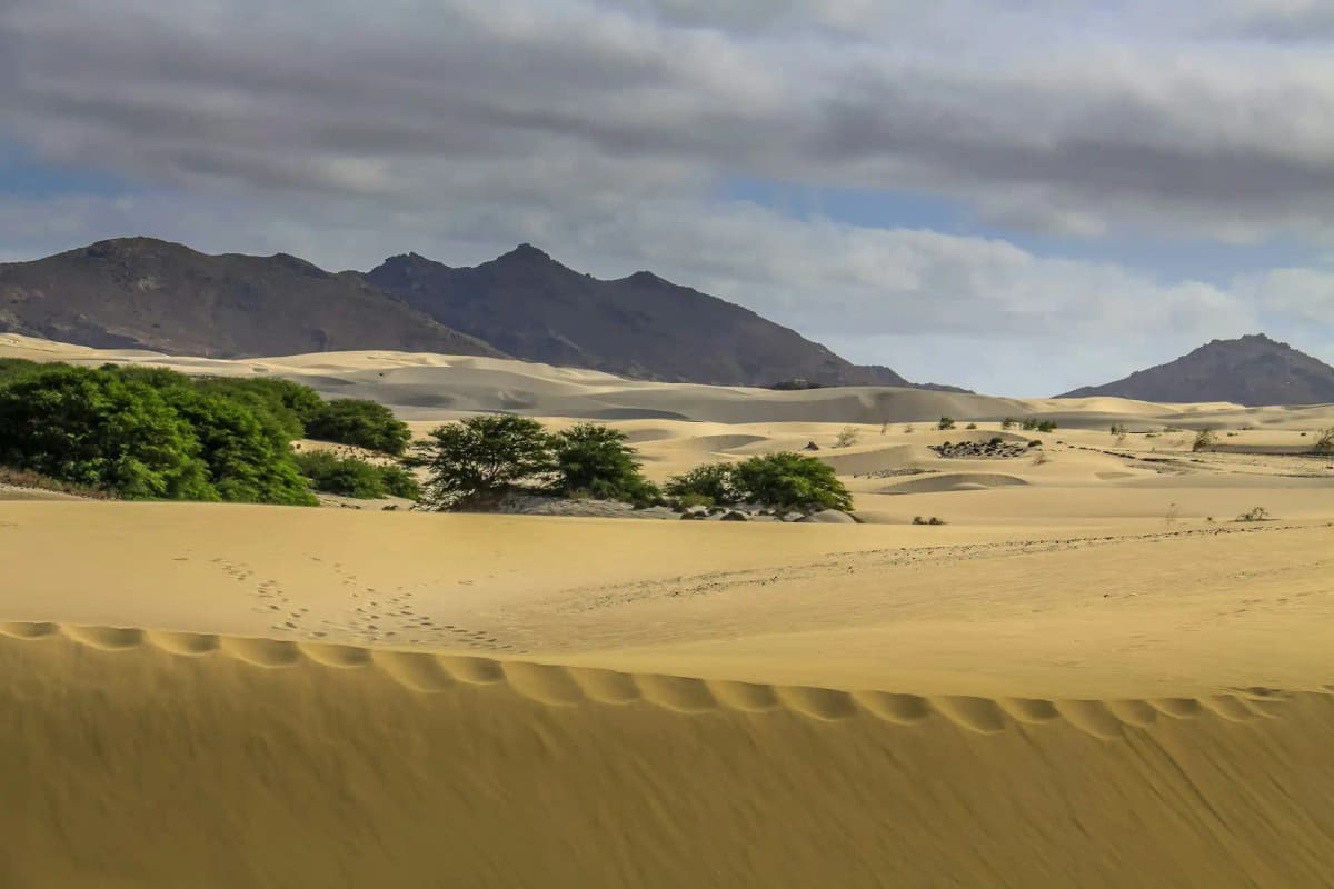
Regional temperature differences are gentle but worth knowing, because they can shape your itinerary. The low-lying eastern islands of Sal, Boa Vista, and Maio, with their vast sand dunes and windswept beaches, reflect the classic Cabo Verde climate: long sunny days, steady onshore breezes, and some of the country’s highest sunshine hours. These islands can feel notably hotter when the midday sun beats down on the bare landscape, but the breeze keeps it bearable. In contrast, the western islands pile up dramatic relief. On Santo Antão’s lush ribeira valleys and Fogo’s volcanic cone, temperatures drop with altitude. You may encounter a pleasant elevation cooling that brings daytime readings closer to 20°C (68°F) on the high slopes, a welcome respite from the lowland warmth, particularly if you are exploring the cobbled trails or the Cha das Caldeiras crater. The WeatherBox temperature map helps visualise these mild thermal contrasts between sun-baked littorals and the cooler highlands. During the wetter months, any region can receive a sudden downpour, but the rains favour the higher, windward-facing mountainsides, leaving the flatter islands largely dry even in August. Sunshine still dominates, and the rain rarely lasts more than a few hours, often clearing to give way to gloriously clear skies for photographing the volcanic landscapes.
For travel planning, the climate is wonderfully straightforward. The long dry season, peaking from November to June, delivers the kind of dependable warmth and blue skies that make beach days, kite sports, and coastal rambles effortless. Humidity is low, the trade winds keep the air fresh, and conditions are optimal for enjoying the powdery sands of Santa Maria or the salt pans of Pedra de Lume without the weight of oppressive heat. This is also the ideal window for walking Santo Antão’s terraced paths, when the trails are dry and the cooler mountain air gives you an extra spring in your step. The wet season (August to early October) sees the thermometer nudge up only slightly, but elevated humidity and occasional heavy, warm tropical showers can make midday exploration feel steamy. Even then, you will find plenty of crisp, bright intervals between the downpours. Pack accordingly: lightweight, breathable fabrics and robust sun protection are essential year-round, while a light fleece or long-sleeved layer serves well for cooler highland evenings and air-conditioned transfers. If your visit falls in the wetter months, a compact rain jacket adds little weight but provides peace of mind during sudden cloudbursts. Cabo Verde’s climate is, in the end, an invitation to explore at almost any time, but knowing the seasonal shift helps you tailor your expectations. For more detailed temperature data and month‑by‑month insight to refine your trip, explore the full range of charts and tools on WeatherBox.