World > Americas > Panama

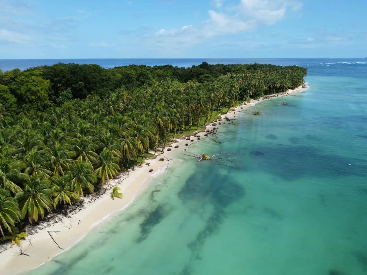
Panama landscape

Panama

Explore weather trends, climate data, and curated weather guides for Panama

Panama Climate Intelligence

Straddling Central America, Panama boasts a tropical climate characterized by warm temperatures and high humidity year-round. Panama experiences a rainy season (May to November) and a dry season (December to April), offering diverse travel experiences from lush, vibrant landscapes to sun-soaked beaches. Ready to plan your trip or optimize your business operations around Panama's unique weather patterns? Discover detailed weather insights and historical data on WeatherBox and make the most of Panama's tropical charm.

Average Temperature & Seasonal Trends in Panama

How do temperatures shift month-by-month?

Temperature Map

How to Use This Map

  • Watch Seasons Change

    Click the Play button to start an animated timelapse of annual temperature shifts.

  • Explore Month-by-Month

    Drag the slider controls to pause on specific months and visualize detailed conditions.

Key Summary
  • Panama’s tropical climate delivers consistently warm temperatures year-round, with seasonal changes measured more by rainfall than by shifts in heat.
  • Lowland and coastal areas remain hot and humid, while cooler highland regions offer spring-like conditions as a natural escape from the low-elevation warmth.
  • The dry season from December to April brings the most sunshine and is the prime travel window, while the wet season sees frequent, heavy afternoon downpours.

Panama sits just north of the equator, making its air temperatures remarkably steady throughout the year. In the lowlands and along both coastlines, daytime highs typically hover between 30°C and 33°C (86°F to 91°F), with nighttime lows settling around 22°C to 24°C (72°F to 75°F). Instead of distinct summer and winter, the country moves between a dry season and a wet season. Rainfall, rather than temperature, marks the calendar. Cities like Panama City and coastal destinations such as Bocas del Toro rarely see dramatic swings in warmth, though humidity can make the air feel heavier. As the WeatherBox temperature map illustrates, the broad lowland belt stays bathed in deep orange hues, reflecting this persistent tropical heat. Ocean breezes on the Pacific and Caribbean coasts provide some relief, but overall the lowlands remain warm and muggy right through the year.

Elevation reshapes Panama’s temperatures in dramatic fashion. The interior mountain spine, running from west to east, creates cooler highlands where conditions diverge sharply from the sweltering coasts. In places like Boquete, El Valle de Antón, and Cerro Punta, daytime highs range from a comfortable 20°C to 26°C (68°F to 79°F), and evenings can dip to a brisk 15°C (59°F) or slightly lower. The WeatherBox temperature map picks out these highland pockets in noticeably lighter bands, underscoring how altitude trumps latitude here. On the Caribbean slope, moisture-laden trade winds keep forests lush and showers frequent even during the drier months. The Pacific side, by contrast, experiences a more pronounced dry season, with gloriously clear skies over the Pearl Islands and the Panama Canal watershed from late December through April. During the wet season, particularly from May to November, afternoon torrents become a daily rhythm. The drizzle-soaked cloud forests around Boquete and the highlands take on a misty, green intensity, while lowland trails and rural roads can turn muddy. This seasonal pulse shapes everything from forest canopies to crop cycles.

The dry season is typically the most favourable time for visitors seeking sun-soaked beach days, wildlife spotting around national parks, and city explorations in Panama City’s Casco Viejo. That peak period also means larger crowds and higher prices. The wet season, often called the green season, still delivers plenty of morning sunshine before clouds build into afternoon storms. This can be an optimal window for visiting the highlands, where temperatures remain mild and landscapes glow with new growth. Packing for Panama calls for lightweight, breathable fabrics, robust sun protection, and a dependable rain jacket or umbrella at any time of year. Even during the driest months, a passing shower can surprise, and highland evenings reward a light sweater. Our charts at WeatherBox capture these steady temperature bands and rainfall rhythms in detail. For deeper temperature data and insights to plan your stay, explore more on WeatherBox.

Regional Humidity & Dew Point Patterns in Panama

How does humidity vary across the country?

Humidity Map

Key Summary
  • Panama’s location between two warm oceans creates a tropical maritime climate with persistently high humidity year-round.
  • A central mountain spine splits the country into a perpetually soggy Caribbean slope and a Pacific side with a distinct, somewhat less oppressively humid dry season.
  • Even during drier months, humidity levels rarely drop below “muggy” in the lowlands, though the highlands offer a noticeable escape into comfortable conditions.

Panama sits squarely in the tropics, barely north of the equator, and the air here rarely has a chance to dry out. The combination of warm Caribbean and Pacific waters, dense rainforests, and steady trade winds feeds an almost constant supply of moisture into the atmosphere. From the lowland jungles of the Darién to the buzzing streets of Panama City, relative humidity typically hovers between 70 and 90 percent. On our humidity comfort index, the majority of the country’s low-lying areas register as muggy, very muggy, or oppressive regardless of the month. The biggest driver of this sticky air is the Intertropical Convergence Zone, a belt of showers and thunderstorms that meanders north and south, drenching Panama in two main pulses each year. As the WeatherBox humidity map shows, truly dry air is virtually nonexistent at sea level anywhere in the country.

Geography heavily influences where and when the humidity feels most stifling. The Caribbean coast, including the Bocas del Toro archipelago, faces the full force of moist trade winds. Here the mountains wring out the air, producing abundant tropical rainfall and keeping humidity oppressively high through all seasons. Rain falls in every month, and the air feels heavy even when the sky clears for an afternoon. The Pacific slope, home to Panama City, the Panama Canal, and the sprawling coffee fincas around Boquete, experiences a marked dry season from roughly December to April. During these months, the same mountains create a modest rain shadow; humidity dips from oppressive to muggy or uncomfortable, and the reduction in cloud cover makes for brighter days. The highland regions, such as the cool valleys of Chiriquí and El Valle de Antón, stand apart on the map as pockets of more comfortable air. Higher elevation lowers both temperature and absolute moisture, so you can stroll through cloud forests or sample geisha coffee without the full weight of tropical humidity pressing down. Still, even here you are never far from mist and dampness.

If you are planning a trip around more forgiving air, the dry season on the Pacific side is your best window. January through March offers a combination of less frequent rain and humidity that, while still very muggy by temperate standards, rarely reaches the truly oppressive levels of the wet season. This is the time for exploring the bright colonial streets of Casco Viejo, watching ships navigate the Miraflores Locks, or lounging on the Sand Dollar beaches of the Pearl Islands with a bit more comfort. The Caribbean coast remains wet and extremely humid year-round, though a brief lull in rain around September and October can make the air fractionally lighter. Packing for Panama is straightforward: lightweight, breathable fabrics, robust sun protection, and a raincoat that can handle tropical downpours are essential no matter the season. The country’s lush, green landscapes, its extraordinary birdlife, and the engineering wonder of the canal are all gifts of this relentless moisture. For a clearer picture of where and when you will feel it most, explore WeatherBox for more humidity data and travel planning insights.

How to Use This Map

Humidity Comfort Levels
Dry
Comfortable
Uncomfortable
Muggy
Very Muggy
Oppressive
  • Watch Seasons Change

    Click the Play button to start an animated timelapse of annual humidity shifts.

  • Explore Month-by-Month

    Drag the slider controls to pause on specific months and visualize detailed conditions.

  • Find Your Comfort Zone

    Use these insights to identify the ideal time to visit Panama based on your weather preferences.

Climate Zones of Panama (Köppen-Geiger Map)

What are the climate zones of Panama?

Climate Map

Climate Classification Legend

Tropical
Af
Am
Aw
As
Dry
BWh
BWk
BSh
BSk
Temperate
Csa
Csb
Csc
Cwa
Cwb
Cwc
Cfa
Cfb
Cfc
Continental
Dsa
Dsb
Dsc
Dsd
Dwa
Dwb
Dwc
Dwd
Dfa
Dfb
Dfc
Dfd
Polar
ET
EF
Key Summary
  • Panama’s geography divides it into two main Köppen zones: tropical rainforest (Af) on the Caribbean slope and tropical savanna (Aw) on the Pacific side, plus pockets of subtropical highland (Cfb) in the mountains.
  • Northeast trade winds and the central Cordillera Central produce a strong rain shadow, giving the Caribbean region rain year-round while the Pacific coast enjoys a distinct dry season from mid-December to April.
  • Travel comfort varies sharply by coast and altitude; the Pacific dry season is the most favourable window for beaches and canal visits, while the highlands provide cooler, springlike conditions at any time of year.

A glance at our Köppen climate map for Panama reveals a country split into two vivid climate worlds. The Caribbean coast and eastern lowlands, draped in tropical rainforest (Af) , receive plentiful rainfall virtually every month. In Bocas del Toro and the Darién, annual totals routinely exceed 2,500 mm (100 in), nurturing a dense tapestry of jungle and mangrove. Just over the continental divide, the Pacific lowlands from Panama City westward into Chiriquí fall under tropical savanna (Aw) , where a pronounced dry season brings weeks of sun before heavy afternoon downpours return with the wet season. Temperatures in the lowlands stay stubbornly high, typically ranging from 24°C to 32°C (75°F to 90°F), while high humidity amplifies the feeling of heat. In contrast, the cool highlands around towns like Boquete and Volcán sit within a subtropical highland (Cfb) zone, where daytime highs average a refreshing 14°C to 22°C (57°F to 72°F). WeatherBox’s monthly charts let you see this rhythm at a glance, mapping the ebb and flow of rainfall across these three zones.

The wild card is the terrain. Prevailing northeast trade winds sweep moisture off the Caribbean and slam it against the northern slopes of the Cordillera Central. This orographic lift keeps places like the lush, drizzle-soaked rainforests of Portobelo and the San Blas Islands glossy green throughout the year, though you may catch a brief drier lull between February and March. On the leeward Pacific side, the same mountains starve the coast of rain for roughly four months, delivering gloriously clear skies for watching container ships glide through the Miraflores Locks or for beachcombing along the Pearl Islands. When the intertropical convergence zone shifts north from May to November, the Pacific side enters its wet season, and you can expect intense afternoon cloudbursts that transform footpaths into streams. By October, the deluge peaks, making some rural roads impassable. Even then, mornings often stay bright, and the countryside turns dazzlingly green. Meanwhile, the mountain interiors maintain their own serene climate logic: cloud-shrouded coffee farms and orchid-filled forests thrive in the persistent mists of the Cordillera, while the windward-slope cloud forests around Santa Fe remain cool and damp across all seasons.

For most travellers, the dry season on the Pacific coast from January to April offers the most dependable conditions. Panama City’s colonial quarter, the canal zone, and the sandy arcs of Santa Catalina are all at their sunniest, though you will share them with peak-season visitors. The Caribbean side remains prone to rain even during these months, yet a trip to the jungle-fringed archipelagos of Guna Yala can reward you with fleeting clear spells and fewer crowds. If you head to the highlands, no month is truly off-limits; the cool, crisp air of the Chiriquí highlands provides a natural escape from the coastal heat whenever you need it. Pack lightweight breathable fabrics, sturdy sandals or water-friendly shoes, reliable sun protection, and a raincoat or compact umbrella no matter which coast you visit. Heavy tropical downpours can appear suddenly, and moisture is a constant companion at sea level. WeatherBox’s interactive climate charts and Köppen map make it straightforward to compare monthly rainfall patterns, humidity swings, and temperature ranges, helping you fine-tune your itinerary. From the rain-soaked Caribbean lowlands to the sun-washed Pacific shore and the eternal spring of the mountains, Panama’s climate is a story of sharp contrasts written by its backbone of mountains. Explore the data on WeatherBox to plan with clarity.
Find places with your ideal climate

Use our Climate Finder to search and rank locations by their temperature and humidity patterns.

Open Climate Finder

Compare Weather
in Panama

See how temperatures, sunshine, and rainfall differ between any two locations on Earth

Panama flag
Panama CityPanama
Change
Panama flag
DavidPanama
Change

Weather Guides

Explore comprehensive annual weather and climate insights for 27 locations in Panama

Explore other locations in Americas