World > Asia > Philippines

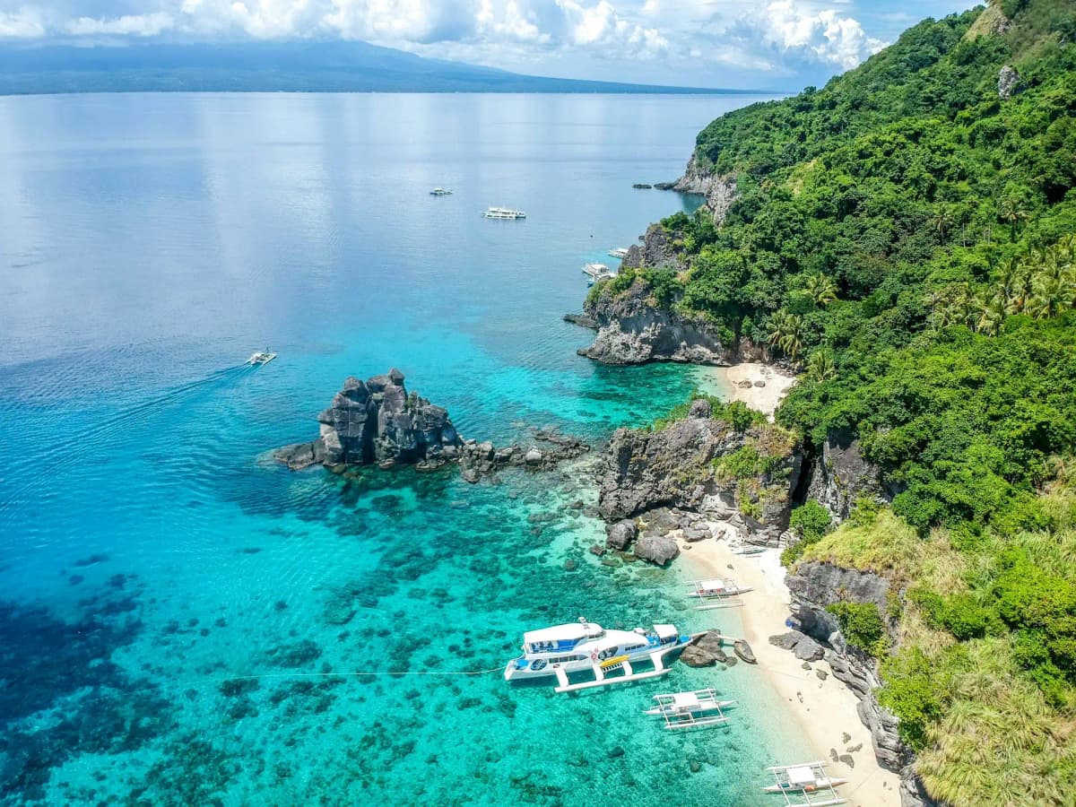
Philippines landscape

Philippines

Explore weather trends, climate data, and curated weather guides for Philippines

Philippines Climate Intelligence

Nestled in Southeast Asia, the Philippines sizzles with a vibrant tropical maritime climate. Expect year-round warmth and high humidity, broadly split into a sunny dry season (roughly December to May) and a rain-drenched wet season (June to November), often accompanied by monsoons and the possibility of typhoons. Planning the perfect island escape or needing reliable data for business operations? Dive deeper into weather patterns and climate insights across the archipelago on WeatherBox.

Average Temperature & Seasonal Trends in Philippines

How do temperatures shift month-by-month?

Temperature Map

How to Use This Map

  • Watch Seasons Change

    Click the Play button to start an animated timelapse of annual temperature shifts.

  • Explore Month-by-Month

    Drag the slider controls to pause on specific months and visualize detailed conditions.

Key Summary
  • Year-round warmth defines the Philippines; coastal and lowland areas typically see daytime highs of 30°C to 34°C (86°F to 93°F) and nights around 23°C to 26°C (73°F to 79°F).
  • Elevation creates the largest temperature contrasts, with cool highlands such as Baguio dropping to 15°C (59°F) while low-lying cities swelter.
  • The strong division into a dry season (December to May) and a wet season (June to November) matters more for travel comfort than the modest temperature swing.

The Philippines drifts through a perpetual tropical summer. Across most islands, air temperatures sit reliably between 25°C and 32°C (77°F and 90°F) all year. Glancing at the WeatherBox temperature map, you see a uniform band of warmth stretching from Luzon to Mindanao, with only the occasional highland pocket breaking the pattern. Coastal sea breezes keep extremes in check, but the real constant is humidity, which nudges the heat index upward and makes light, breathable clothing a daily necessity. Our analysis of long-term records shows that monthly mean temperatures barely shift by more than a couple of degrees; the true seasonal story lies in rainfall and wind direction.

Where you stand in the Philippines can radically change how that warmth feels. Eastern regions face the northeast monsoon (amihan) from November to April, which delivers cooler, drier air and pleasant trade winds. Western shores and the Visayas bear the southwest monsoon (habagat) from May to October, bringing humid, rain-laden skies that mask the sun and suppress afternoon highs by a degree or two. As the WeatherBox temperature map highlights, altitude is the great moderator. The mountain city of Baguio, perched 1,500 metres above sea level, regularly sees early-morning lows near 15°C (59°F), offering a genuine chill rare elsewhere in the country. Similarly, the Tagaytay ridge grants relief from Manila’s sticky heat. These contrasts shape how you experience famous spots: during the dry period, gloriously clear skies open up for snorkelling with whale sharks off Donsol or wandering the historic cobblestones of Vigan, while the rain-fed rice terraces of Ifugao look their emerald best when June’s showers arrive. The hottest stretch, March to May, pushes inland areas past 35°C (95°F), and even the coast can feel uncomfortably muggy between afternoon downpours.

Most travellers find the sweet spot during the dry season, especially December to February, when the amihan wind gentles the humidity and the probability of typhoons is lower. This is prime time for island-hopping through Palawan’s limestone lagoons or relaxing on the white sand of Boracay. Pack with the tropics in mind: loose, airy fabrics, robust sun protection, and a refillable water bottle are non-negotiable. The March-to-May build-up, although drier on paper, can be an endurance test of heat, so plan outdoor activities for early mornings. If you choose to ride the wet season from June to November, expect sublime green landscapes and fewer crowds, but carry a lightweight raincoat and allow flexibility for ferry and flight schedules. A light sweater proves its worth if you venture into the highlands at any time of year. The Philippines’ warmth is its trademark, but choosing when and where to embrace it makes all the difference. For deeper temperature insights and to pinpoint the coolest escapes, explore the detailed maps and charts on WeatherBox.

Regional Humidity & Dew Point Patterns in Philippines

How does humidity vary across the country?

Humidity Map

Key Summary
  • The Philippines endures persistently high tropical humidity year-round, with outdoor conditions often feeling Muggy to Oppressive.
  • Regional exposure to monsoon winds and coastal sea breezes creates pockets of relative comfort, especially on islands open to the northeast trade winds.
  • A distinct wet-dry seasonal pattern driven by the monsoons dictates whether the air is merely Uncomfortable or veers into the truly Very Muggy range.

The Philippines floats in the warm western Pacific, an archipelago wrapped in bath-like seas that pump endless moisture into the atmosphere. This geography locks in a tropical humidity regime where morning relative humidity rarely dips below 80 percent and routinely climbs into the 90s, making the air feel Muggy or Oppressive for much of the day. Even when it is not raining, the simple act of walking between the sun-drenched beaches of Boracay and a shaded cabana can leave you slick with perspiration. Our WeatherBox data show that the combination of steady warmth and abundant moisture makes the Philippines one of Southeast Asia’s most consistently humid destinations. The country’s thousands of islands all share this baseline, yet small shifts in wind direction and topography nudge comfort levels up or down as you move from one side of an island to another.

Seasonal swing is everything here, and geography dictates which side of an island feels the stickiest air. From June to November, the southwest monsoon pushes a deep layer of Very Muggy air across the entire archipelago, delivering the drenching rains that fill the drizzle-soaked rice terraces of Banaue and keep the Chocolate Hills of Bohol cloaked in mist. During this period, open shorelines exposed to the monsoon, such as western Palawan, often record our highest discomfort readings, as indicated by the WeatherBox humidity map. By contrast, the drier northeast monsoon from December to May ushers in a slightly more Comfortable feel, particularly along eastern coasts like Siargao, where the Pacific breeze freshens sun-drenched surf breaks. Sheltered inland valleys and bustling cityscapes such as Metro Manila, however, trap moisture and can remain stubbornly Muggy regardless of the season. Refer to the WeatherBox humidity map to see how these local contrasts play out across the Visayas and Mindanao.

Travel planning revolves around this monsoon rhythm. The window from December to May offers the best chance for comfortably exploring iconic spots: wandering the Spanish-colonial streets of Vigan or island-hopping the clear turquoise waters of El Nido, when the air leans toward the lower end of the Uncomfortable range and torrential downpours are less frequent. Even then, high tropical humidity is a constant travel companion, so packing light, breathable fabrics, abundant sun protection, and a compact raincoat for sudden midday showers is non-negotiable. The rainy southwest monsoon months, while undeniably lush and crowd-free, can feel Oppressive for hours on end and may turn unpaved paths into mud, making this a less forgiving time for casual exploration. Ultimately, the Philippines rewards visitors with vibrant green landscapes fed precisely by this abundant moisture. To compare the sticky monsoon months against the breezier dry season and identify the most pleasant pockets of coastline, explore the full humidity trends and interactive comfort index at WeatherBox.

How to Use This Map

Humidity Comfort Levels
Dry
Comfortable
Uncomfortable
Muggy
Very Muggy
Oppressive
  • Watch Seasons Change

    Click the Play button to start an animated timelapse of annual humidity shifts.

  • Explore Month-by-Month

    Drag the slider controls to pause on specific months and visualize detailed conditions.

  • Find Your Comfort Zone

    Use these insights to identify the ideal time to visit Philippines based on your weather preferences.

Climate Zones of Philippines (Köppen-Geiger Map)

What are the climate zones of Philippines?

Climate Map

Climate Classification Legend

Tropical
Af
Am
Aw
As
Dry
BWh
BWk
BSh
BSk
Temperate
Csa
Csb
Csc
Cwa
Cwb
Cwc
Cfa
Cfb
Cfc
Continental
Dsa
Dsb
Dsc
Dsd
Dwa
Dwb
Dwc
Dwd
Dfa
Dfb
Dfc
Dfd
Polar
ET
EF
Key Summary
  • The Philippines has a uniformly warm, humid tropical climate, with lowland areas dominated by tropical rainforest (Af) and tropical monsoon (Am) classifications under Köppen.
  • Two seasonal monsoons shape the country: the dry northeast Amihan from November to April, and the wet southwest Habagat from May to October, often accompanied by typhoons.
  • Geography creates stark rainfall contrasts: eastern coasts exposed to trade winds stay wet year-round, while sheltered western islands and mountain valleys enjoy a longer dry season.

Drifting low in the western Pacific, the Philippines archipelago sits squarely within the tropics, where consistently warm seas feed the air with stubbornly high moisture. Nearly all its lowland islands fall under the Köppen tropical rainforest (Af) and tropical monsoon (Am) zones, meaning you will encounter high humidity and daytime temperatures that typically range from 25°C to 32°C (77°F to 90°F) regardless of the month. In Af-climate areas such as the eastern shores of Samar and Luzon, rainfall is abundant every month, rarely dropping below 60 millimetres, which nurtures perpetually steaming jungles. Am climates define much of the central and western Visayas, including Metro Manila, where a short but distinct dry spell punctuates the year. Above roughly 1,000 metres, the Cordillera and other highlands transition into a subtropical highland climate (Cwb), gifting places like Baguio with noticeably cooler nights and pleasant daytime temperatures around 18°C to 24°C (64°F to 75°F).

The interaction between wind and topography carves the Philippines into different seasonal experiences. From November to April, the Amihan monsoon pushes dry, north-easterly air across the archipelago, delivering gloriously clear skies for island-hopping in the Bacuit Archipelago around El Nido or for exploring the dry, dazzle-brown slopes of the Chocolate Hills in Bohol. When the Habagat southwest monsoon arrives between May and October, it forces rain-laden air against the western flanks of islands, soaking Palawan’s interior and triggering brief but intense afternoon downpours in Manila. Eastern coastlines facing the Pacific, from northeastern Luzon to the Dinagat Islands, receive orographic uplift from the Amihan trade winds and can be damp at any time of year, their forests sustained by persistent drizzle. The typhoon belt most affects the Visayas and southern Luzon from July to October, when tropical cyclones can deliver torrential rain. Sheltered valleys and islands such as Cebu City or northern Palawan enjoy a more pronounced dry season, classified as Am or even Aw where the dry window extends further.

Travel rhythms naturally follow this seasonal pulse. The drier, slightly less humid Amihan months from December to April are the optimal window for divers seeking good visibility on Tubbataha Reef or for touring the drizzle-soaked Banaue rice terraces during sunnier interludes. Even then, pack light, breathable fabrics, a wide-brimmed hat, and high-SPF sun protection, because the heat remains intense. The wet Habagat season and the typhoon-active months can still reward flexible visitors with lush scenery and smaller crowds, provided you anticipate soggy spells and carry a sturdy raincoat and umbrella. Avoid high-risk mountain treks when rain makes trails unsafe, and keep an eye on typhoon forecasts if your itinerary centres on eastern islands. For a clear, interactive look at how these Köppen zones and monsoon patterns affect every corner of the country, explore the detailed climate charts and maps on WeatherBox to plan a trip in sync with the Philippines’ own tropical rhythm.

Find places with your ideal climate

Use our Climate Finder to search and rank locations by their temperature and humidity patterns.

Open Climate Finder

Compare Weather
in Philippines

See how temperatures, sunshine, and rainfall differ between any two locations on Earth

Philippines flag
ManilaPhilippines
Change
Philippines flag
Quezon CityPhilippines
Change

Weather Guides

Explore comprehensive annual weather and climate insights for 188 locations in Philippines

Explore other locations in Asia